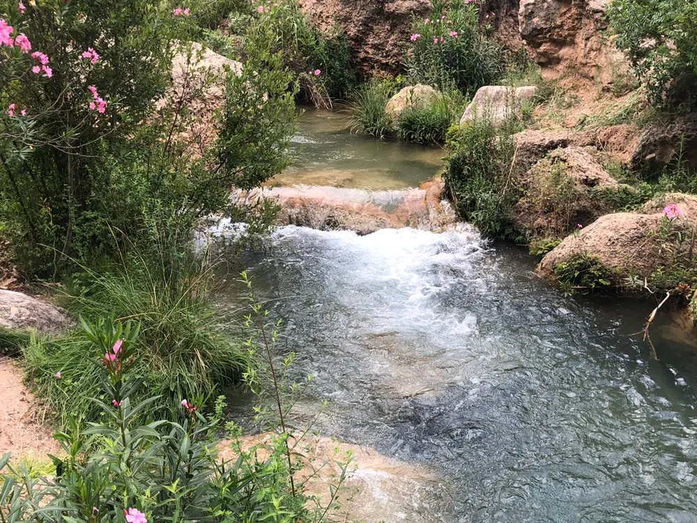
Ruta del Agua de Chelva
A very easy circular walk tracing the Tuéjar river's water heritage past medieval mills, weirs, waterfalls and the pitch-dark Paso de Olinches, a tunnel hacked straight through the rock. It ends at La Playeta, a turquoise river pool that's perfect for a summer dip.
The Ruta del Agua de Chelva is an 8.2 km circular walk rated easy that follows the old waterworks of the Tuéjar river, in the Los Serranos county. It takes 2 to 3 hours, gains around 240 metres of cumulative climb and stays close to the water almost the whole way.
The route
The path links four sections —Olinches, La Peña, Las Toscas and La Olla— along medieval irrigation channels, mills and small weirs that once watered the valley. The stretch people remember is the Paso de Olinches, a short tunnel chiselled by hand into the rock: bring a phone torch, because it is pitch dark inside. Being a loop, you return to the village without retracing your steps.
What to see
You pass dams, small waterfalls and the remains of old flour mills. The usual finish is La Playeta, a green pool where people swim in summer. It pairs well with other hiking routes inland and with the beaches and natural pools in the area.
Tips
- Closed shoes with good grip: there is wet rock and slippery sections.
- Carry water and a torch or a charged phone for the tunnel.
- Spring and autumn are best; in August, set off early.
More ideas in the hiking routes guide and in natural pools near Valencia.
Frequently asked questions
How long does it take?
Two to three hours for the 8.2 km, with stops at the mills and a dip at La Playeta.
Is it suitable for children or beginners?
Yes, it is easy and nearly flat, but the Paso de Olinches is dark and narrow; with children, hold their hand and use a torch.
When to go?
Spring and autumn for the temperature; in summer, if you want to swim, go early to dodge the heat and the crowds.