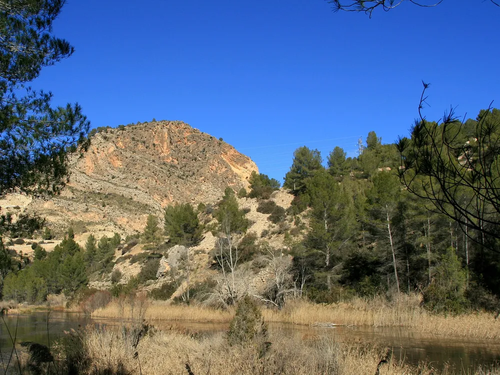
Los Cuchillos del Cabriel
Vertical limestone blades above the Cabriel gorge, in the largest natural park of the region. Seen from the Fonseca viewpoint and the geological Purple Route (5.7 km, 2 h).

Los Cuchillos del Cabriel are a crest of vertical limestone blades above the Cabriel gorge, inside the Hoces del Cabriel natural park of Villargordo del Cabriel. Their shape comes from the vertical strata and uneven erosion between soft marly limestone and harder limestone. The official Purple Route treats them as the finest display of the park landforms and a summary of the geology of the Sierra del Rubial, the structural boundary between two great mountain systems.
How to see them
The closest view is the geological Purple Route: 5.7 km, about 2 hours, high difficulty, starting from the authorised car park on the old N-III over the Contreras pass. A gentle forest track leads to the Cuchillos viewpoint, then a steep, narrow but fitted path drops to the blades and returns up the Barranco Moluengo. A gentler option is the Yellow Route (16 km one way, 4:30 h, medium difficulty): at kilometre 4.6 a detour climbs to the Mirador de la Fonseca, with views over the Fonseca valley, its riverside hamlet ruins and the Cuchillos, plus royal and Bonelli eagles on lucky days.
Tips
- The Purple Route is rated high difficulty: short but steep, with a narrow descent. Wear boots and carry water.
- Stay on the fitted paths: the crest edges and the firebreak slopes drop straight to the gorge.
- Check the park fire-season rules before going, as tracks can close in summer.
- Combine with the Hoces del Cabriel routes, the natural park itself, or a stop in Venta del Moro, on the Yellow Route side.
Frequently asked questions
What are Los Cuchillos?
A crest of vertical limestone blades formed by uneven erosion between soft marly layers and harder limestone, above the Cabriel gorge.
How do you see them?
Walk the geological Purple Route (5.7 km, 2 hours, high difficulty) or take the detour to the Fonseca viewpoint off the Yellow Route.
How hard are the routes?
The Purple Route is short but steep with a narrow descent; the Yellow Route is medium difficulty but 16 km one way. Both need boots, water and a car.
Comments
Sign in with Google to comment and rate
What did you think? Be the first to share it.