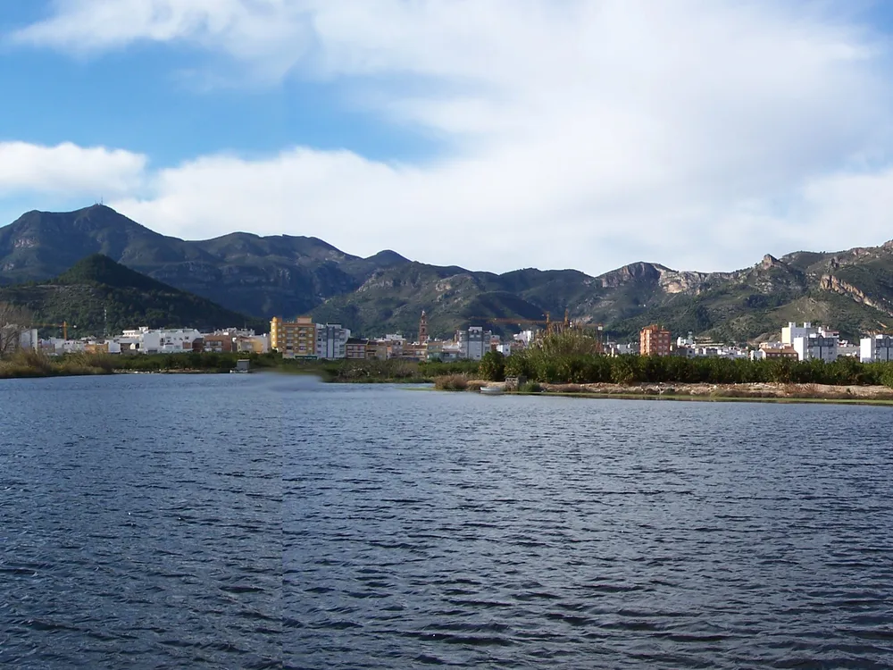
Montdúver (Mondúver)
At 841 metres, the Mondúver is the roof of La Safor and a natural balcony commanding the coast from Gandia to Cullera. Although its summit belongs to Xeresa, much of the limestone mass spreads across Xeraco, Barx and Gandia, riddled with chasms and karst features through which water seeps to emerge at the massif's springs and feed the Vaca (or Xeraco) river. It is a much-loved peak among hikers, who reach the top via trails such as those starting from the Font de l'Ull.
At 841 metres, the Mondúver is the roof of La Safor and a natural balcony over the coast, in view from Gandia to Cullera. The summit belongs to the neighbouring municipality of Xeresa, but the limestone mass also spreads across Xeraco, Barx and Gandia.
A mountain of water
The massif's limestone is riddled with chasms and karst features through which rainwater seeps. That water later emerges at the range's springs and feeds the Vaca river, also called the Xeraco river. It is, to a large extent, the same water that surfaces at the Font de l'Ull.
Climbing it
The region's hikers reach the top via trails such as those starting from the Font de l'Ull. From up there the whole La Safor coast opens out in a single view.
Frequently asked questions
How high is the Mondúver?
At 841 metres, the Mondúver is the highest point of La Safor and a natural balcony overlooking the coast from Gandia to Cullera.
Which municipality does the Mondúver belong to?
Its summit lies in the neighbouring municipality of Xeresa, but the limestone massif also spreads across Xeraco, Barx and Gandia.
How do you climb the Mondúver?
Local hikers reach the top by paths such as those starting from the Font de l'Ull; from the summit you take in the whole La Safor coast.
Comments
Sign in with Google to comment and rate
What did you think? Be the first to share it.